34 09.445 N
77 51.384 W
More groundings and more broken things!
Deidre and I were up early today as we needed to get ahead of the convoy and pick up fuel. I had been researching fuel prices for a while - its worth while when you buy 500 plus gallons at a time - and I had found this odd place (its a RV park!) in NC that seems to be $0.25 less than everyone else. It was 20 miles ahead, and so we wanted to leave an hour or so ahead of the group so we could cruise together for the rest of the day.
We were up at 6:45 AM and underway at dawn and all went well till we arrived at the first "moving" bridge (some "lift" and some "swing"). It was scheduled to open every 1/2 hour and we arrived with a few minutes to spare, only to discover it was not functioning! We were delayed 45 minutes. As you can imagine quite a few boats had backed up by then (2 openings worth) and we all had to dance around each other in the narrow channel with a knot of current and 10/15 MPH of wind. The bridge was eventually opened "manually" (whatever that means, we did not see any people pushing it) and we were on our way, but next going thru the process of sorting out all the boats by relative speed.
The refueling at "New River RV and Marina" went perfectly well and we left with a full tummy of fuel - 800 gallons in all. Better still, our friends were also held up at the same bridge for the same reason, so the "cruising plan" was intact. We still had 3 more moving bridges to make. And a problem in this part of NC is that some open every 1/2 hour but some open only once an hour! And we had two of those ahead of us.
It soon became apparent to us that we would "miss" the next bridge at "Surf City" and there was no choice but to slow down and take 1 3/4 hours to make 3/4 of an hours progress. What a drag, cruising at 3 kts, even when you are retired.
 |
| We are being followed! |
The problem seems to be that the recent storms have messed up the ICW and there is shoaling all over the place. Being an expert now, I was able to wriggle back into deep water, but the other two boats were well and truly stuck and had to call for help. After some back and forth we took off for the next bridge (What else could we do? They were not sinking!). But we missed the bridge anyway, but rather than waiting we decided that the tide was out and if we lowered some aerials we might be able to sneak under. With everything down we need about 22' and there was 23' under a 20' bridge. We made it.
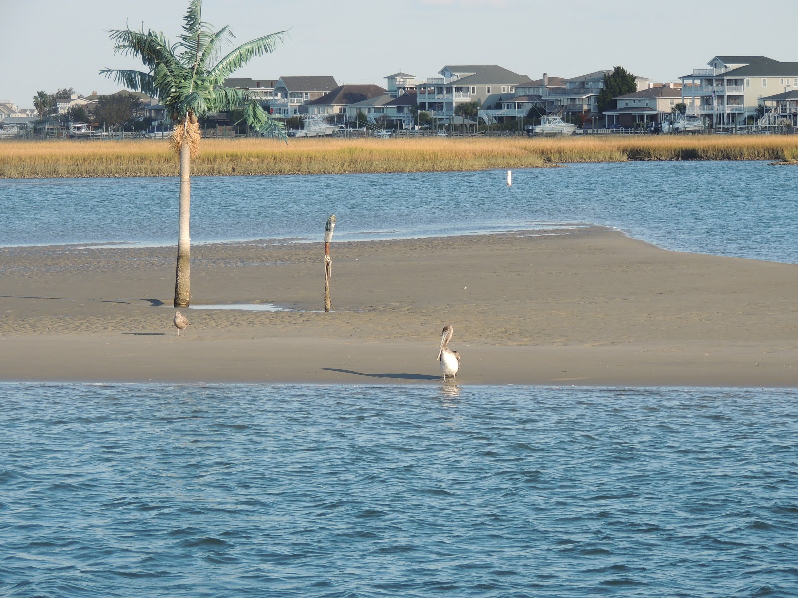 |
| Island, Palm Tree and Pelican |
PS: We have reluctantly decided to retire our Aussie ensign. It is just too beat up to fly. I took it down this evening. We will arrange an appropriate cremation when we arrive in Charleston in a day or so.

No comments:
Post a Comment